Puzzle Road Trip: Route 66
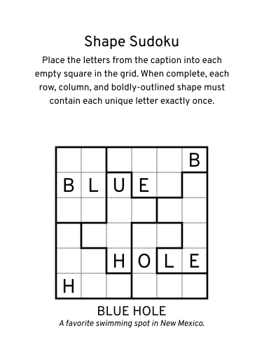
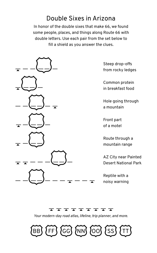
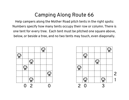
Puzzle Road Trip: Route 66 is a puzzle book featuring a variety of easy-to-medium puzzles themed after the most famous highway in American history — Route 66. Puzzles include twists on classic favorites like word searches, sudoku, story logic puzzles, mini crosswords, and more. The book flows from the eastern terminus in Chicago, Illinois to the western terminus in Santa Monica, California, with a plethora of details about the historic route and the people, places, and attractions along the way.
Featuring
- Spiral binding* for easier solving as a passenger in a car.
- Full answer keys in case you get stumped.
- Hidden puzzles for the clever and observant.
- Bonus car games to play along your next road trip.
* Paperback edition only.
Details
- Author: David Millar
- ISBN: 978-0-9883274-1-2
- Publication Date: 2026
* Price may be higher on iOS.
If you've already purchased this as an eBook via PayPal, sign in with your username and password to re-download it.
Shipping
Shipping options are set up via a combination of Shopify, USPS (or other shipping providers), and Pirate Ship. Shipping options and prices subject to change.
Not happy?
If you didn't have fun, please e-mail Dave. This is a one-man show, but he'll do what he can to find or make something you'll enjoy.
Returns for refund (less shipping costs) are permitted, at Dave's discretion, for unused books only. To start that process, please e-mail Dave.
Re-downloads
If you purchased via PayPal and would like a key to add the book on itch.io, or purchased on itch.io and would like your download added here on The Griddle, please e-mail Dave for assistance.
Retailer Information
If you are a retailer interested in carrying the book, please e-mail Dave for more information.
For a list of current and upcoming retailers, see below.
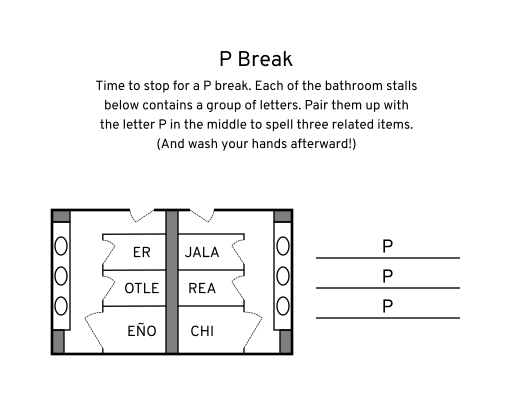
Sample Puzzles
All materials in and associated with Puzzle Road Trip: Route 66 are © 2025-2026 David Millar. All rights reserved.
Route 66 FAQs
Where does Route 66 run?
Route 66 runs from Chicago, Illinois to Santa Monica, California, passing through Illinois, Missouri, Kansas, Oklahoma, Texas, New Mexico, Arizona, and California.
Is Route 66 a real highway?
Route 66 was a numbered U.S. highway that was designated in 1926. Over the years, the route was modified, re-routed, tweaked, truncated, bypassed, and eventually decommissioned in the 1980's.
Its legacy made a lot of folks eager to preserve the spirit and story of the highway for future generations. Some states designate the path of Route 66 (or a close equivalent) as a scenic route, byway, or a specific state route, like parts of Oklahoma state route 66. The route is also used as the basis for U.S. Bicycle Route 66, as part of the U.S. Bicycle Route network.
Can you still drive Route 66?
Parts of the original route can still be driven. Other parts cannot for a variety of reasons, including but not limited to: abandonment, destruction, reuse as a private drive-way, and conversion to bicycle-only and/or walking-only paths. Other parts are still able to be driven, but have been converted to modern highway standards.
How long does it take to drive Route 66?
This is a very subjective question, but most folks agree you should spend at least two weeks to get the best experience. It's impossible to see and do everything, though, so the best advice is to do research on the parts you want to see the most and plan around those.
Can you drive Route 66 in an RV?
Yes, but parts of the road in western Arizona have sketchy switchbacks and it's quite tricky to navigate those with a larger vehicle. For that stretch, it's best to take an alternate route and backtrack with a smaller car or some alternate method.
Can you drive Route 66 using signage alone?
No, it's nearly impossible to drive the historic route with signage alone. Since the highway was officially decommissioned, the signage along the route is maintained by each state individually and can vary quite a bit in style and quality. Additionally, the numerous spurs, alternate alignments, and repurposing of the highway can lead to confusing navigation and get you off-track quite easily. Most importantly, the highway being as famous as it is lends itself to folks slapping stickers on the signs or even stealing signage as a souvenir, so the signs may be illegible or missing altogether. It's better to have a GPS or navigation app available as well as a dedicated book or map for navigating in areas with low signal.
Do I need a toll tag or transponder for Route 66?
Probably not. For the most part, the route does not overlap any major tollways and can be navigated without encountering them.
If you plan to do a mix of actual Route 66 roadway and some modern highways, you may encounter tolls in Illinois and Oklahoma.
For Illinois, you can go to the Illinois Tollway website and register your license plate to pay online, which is recommended if you do not already have a transponder and do not plan to drive in areas where one is needed in the future.
For Oklahoma, the Oklahoma Turnpike Authority can bill you by mail via your license plate, but it is more expensive than if you register ahead of time and obtain a Pikepass. Oklahoma also interoperates with nearby states, so drivers from Texas and Kansas should check to see if you already have a tag that works with Oklahoma's turnpikes for automatic billing.
If renting a car for your road trip, your best option is to check with your rental company for terms and conditions related to toll roads and set your navigation app to avoid toll roads when able.
What are your favorite places along Route 66?
Some of Dave's favorite places along the route include:
- Doc's Just off 66 in Girard, IL
- Route 66 State Park on the site of the former town of Times Beach, MO
- The Blue Whale of Catoosa in Catoosa, OK
- Buck Atom's on 66 in Tulsa, OK (The Land of the Giants!)
- Pop's Soda Ranch in Arcadia, OK
- Cadillac Ranch near Amarillo, TX
- Dream Maker Station at the midpoint of Route 66 in Adrian, TX
- Meow Wolf's House of Eternal Return in Santa Fe, NM
- Jack Rabbit Trading Post near Joseph City, AZ
- Oatman, AZ, a magical “ghost” town filled with wild burros, nestled in the mountains near the California border, and The Sidewinder, the twisting road that leads to Oatman
- Santa Monica Pier, the unofficial “End of the Road” in Santa Monica, CA
Where on Route 66 can I get a copy of Puzzle Road Trip: Route 66?
The following shops either have the print edition available now or coming soon:
- The Old Joliet Prison Historic Site in Joliet, IL
- The Joliet Area Historical Museum, home of the First 100 Miles Route 66 Visitor Center in Joliet, IL
- Mystical Boutique On Rt. 66 in Wilmington, IL
- The Landing Pad Souvenir Shop, the new home of the Gemini Giant in Wilmington, IL
- Sightings on 66, the best place to spot Bigfoot in Galena, KS
- Cherokee Trading Post in Calumet, OK
- Texas Ivy Antiques in Amarillo, TX
- Dream Maker Station at the midpoint of Route 66 in Adrian, TX
- Fun-Key Junk Designs, caretakers of the World's Largest Flip Flop in San Jon, NM
- Carlson Coffee Company, a cozy coffeehouse and bakery in Tucumcari, NM
- Tee Pee Curios, one of the most iconic stops in Tucumcari, NM
- Tinkertown Museum, a haven of intricate dioramas and nostalgia on the Turquoise Trail in Sandia Park, NM
- Enchanted Trails RV Park just west of Albuquerque, NM
- Antares Point, home of Giganticus Headicus, near Kingman, AZ
If you work with or own a shop along Route 66 and would be interested in carrying the book, please e-mail Dave for information!
Did Route 66 ever go to San Francisco, CA?
NO! It bother's Dave's OCD to no end that someone opened a Route 66 gift shop in San Francisco.
Dave is not a travel agent or expert and makes no warranties about the accuracy of the information shared above. The information is subject to change, and updates will be provided when known and feasible.
Book Notes & Thank Yous
Design and Layout
Puzzle Road Trip: Route 66 was designed and composed in Inkscape, a free and open-source vector graphics editor similar to Illustrator. Special shout-out to Martin Owens who has spruced up the PDF support in Inkscape over the last several years, which has benefitted both this book and the puzzles here on The Griddle.
Highway Signage Shapes
The book uses signage shapes found in and/or derived from the Manual on Uniform Traffic Control Devices (MUTCD) from the U.S. Federal Highway Administration, including U.S. highway shields, Interstate highway shields, and some arrow shapes.
United States Map
The book contains a map of the United States with Route 66 drawn over it, which was derived from an image in the public domain on Wikimedia Commons by user SPUI~commonswiki.
Fonts
The book's primary typeface is Overpass, designed by Delve Fonts, inspired by Highway Gothic, and sponsored by Google Fonts and Red Hat.
The book's secondary typeface is Barlow, designed by Jeremy Tribby, and it looks great as a license plate font.
The book also uses the typefaces League Gothic and Libre Barcode EAN13 on the front and back covers respectively.
AI Statement
A big part of the history of Route 66 is that it was bypassed by the interstate highway system, and small towns full of working-class folks got short-changed and left behind. I believe that generative AI is doing the same thing today with art and programming, and as someone who works with both, it's disheartening to see. Puzzle Road Trip: Route 66 was made without the use of generative AI, being written by hand in graph paper notebooks, graphics drawn by hand in Inkscape, and word puzzle clues being written and checked by hand as well. The book is a labor of love, not the result of prompting an LLM.
Test-Solvers
Huge, massive thank-you to the folks that helped with test-solving to get this book into shape:
- Randy E. Aguebor
- Zach Barnett
- Jim Bumgardner
- Morgan Chivers
- Matt Cleinman
- Pavel Curtis
- Beth Duckles
- Margaret Fero
- Guishark
- Sophie He
- Tyler Hinman
- Paul Melamud
- Tuesday Mueller-Harder
- Emily Olauson
- Giovanni Pagano
- Luke Paulsen
- Hang Pham-Vu
- Chuck Roslof
- Cathy Saxton
- Toast
- Walker
- C. Yu
Errata from First Printing
Apologies to Beth Duckles, Margaret Fero, and Chuck Roslof, whose names were left out of the test-solver list in the first printing of the book.
Little Sidewinders (Page 57): The Sidewinder is east of Oatman, not west as incorrectly stated in the introduction.
Additional Links
- CANTOKMI Games, the brainchild of Tim Masten, has a great Route 66 board game that's worth checking out for the variety of attractions and wealth of information contained in it. Perfect for a rainy day game or when you can't get out on the Mother Road proper.
- Wasteland Firebird has compiled his “Big List of the Best Things on Route 66” — and made it available in print for those planning their own adventures.